Hamama
THE HAMAMA PROJECT
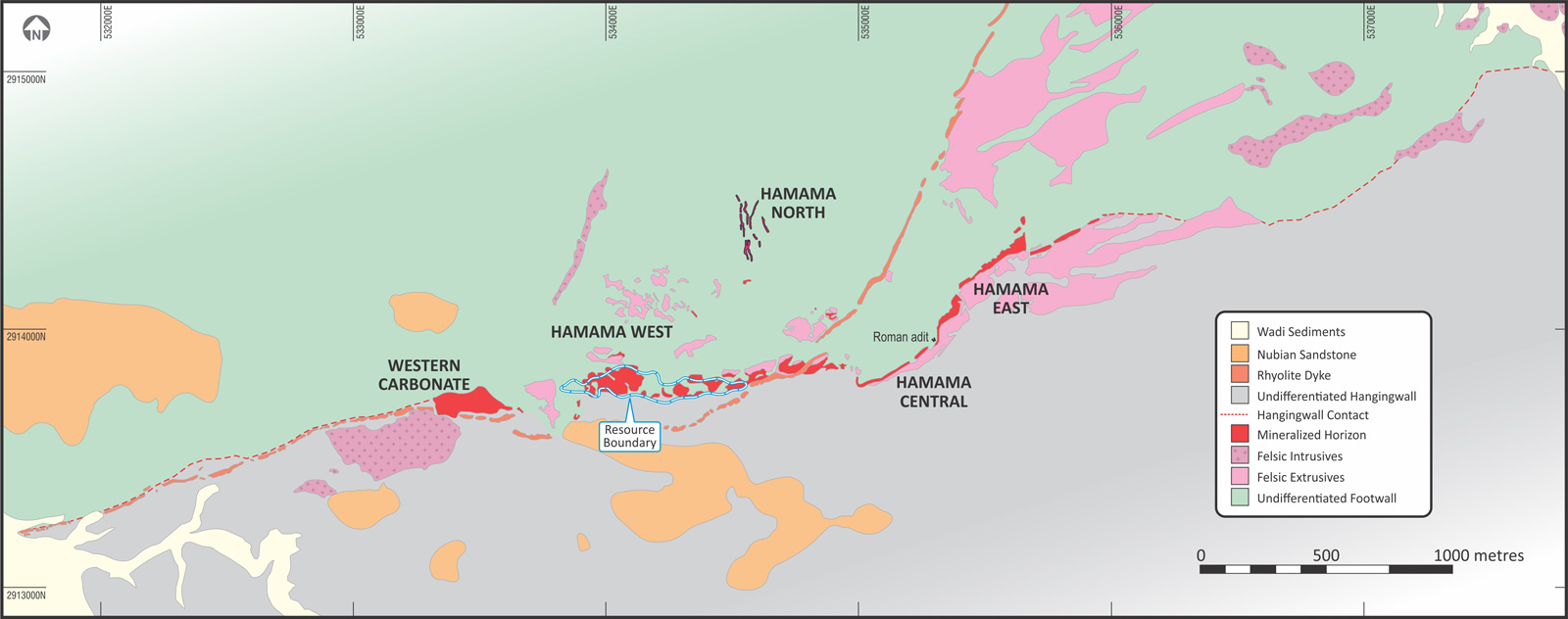
The Hamama project is located in the west of the Concession, in a sequence of Neoproterozoic age metavolcanics, predominantly consisting of intermediate rock types. The local geology at Hamama is overturned, and consists of a stratigraphic footwall sequence of andesitic lavas and tuffs, overlain by a sequence of tuffaceous volcaniclastic and sedimentary rocks. The mineralisation at Hamama is located within a distinctive mineralised silica-carbonate horizon, and is currently interpreted as displaying many of the characteristics of the ‘VMS-epithermal hybrid’ sub-class of VMS deposits. VMS-epithermal hybrid systems are essentially the shallow marine equivalent of subaerial epithermal systems. Hamama shares certain similarities with other VMS deposits in the Arabian Nubian Shield, such as Bisha and Hassai. The mineralised horizon at Hamama has a strike length of 3km and potentially remains open to the east and west. Aton has drilled a total of 109 diamond drill holes amounting to 11,827m.
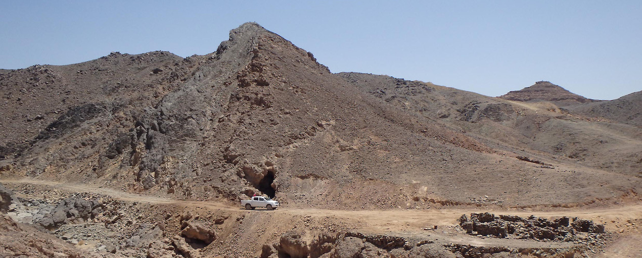
Three mineralised zones have been identified to date - Hamama West, Hamama Central, and Hamama East, and high grade gold mineralised quartz veins have also been discovered at West Garida, 3km to the east of Hamama West. Ancient iron and copper mining and smelting sites have been identified in the general Hamama area. There is also evidence of ancient gold mining sites and tailings dumps in the North Garida area approximately 4km northeast of Hamama West.
The Hamama West deposit, representing 750 metres of the 3km mineralized horizon, has an NI 43-101 Independent Technical Report that shows an Inferred Mineral Resource of 341,000 ounces’ gold equivalent (“AuEq”) and an Indicated Mineral Resource of 137,000 ounces AuEq.
Learn more about the Hamama West Deposit